 Pic River Dune
Complex
Pic River Dune
Complex
Contributed by Peter Rotheisler
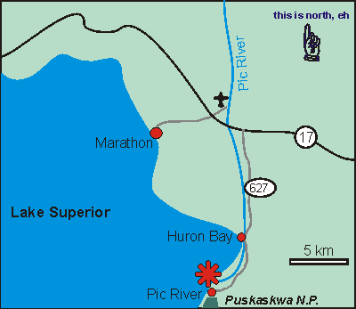
The Pic River sand dune complex is located immediately west of the
mouth of the Pic River, and is accessed by a trail which veers westerly
at the end of highway 627.
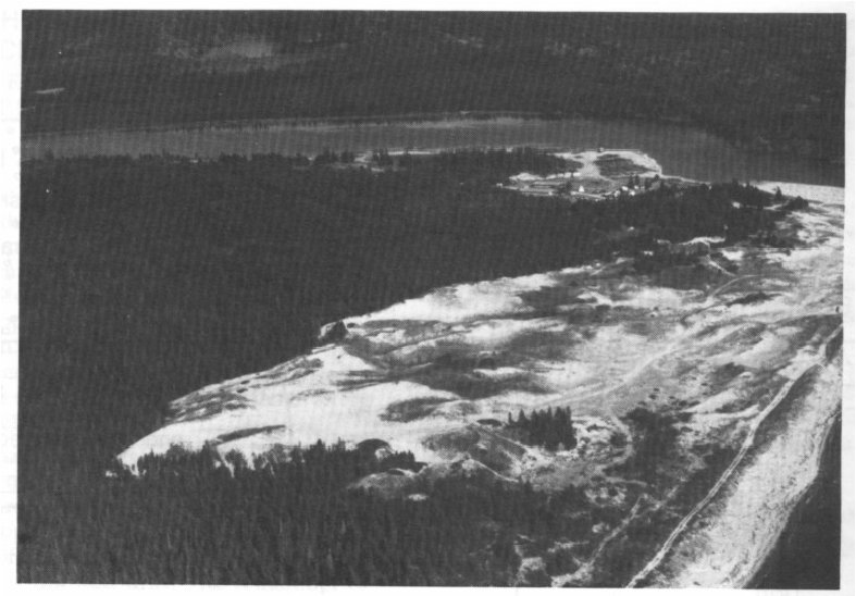
The area surrounding the mouth of the Pic River has much to be
revealed from the perspectives of geology, archaeology, history and
scenery. It is the entrance-way for Pukaskwa National Park, one of
Canadas newest parks, and was formerly an important trading centre.
The dune complex is extensive, active, and clearly demonstrates how
a shore dune complex can migrate inland. Numerous buried paleosols
and forests can be seen beneath up to 10 metres of windblown sand.
The oldest buried forests are situated closest to the present shoreline.
The east side of the dune is still active because to the prevailing westerly
winds, thus the burial of a living black spruce forest can be witnessed.
![]()

![]()